
ਤਸਵੀਰ:Europe map france.png

ਇਸ ਝਾਤ ਦਾ ਅਕਾਰ: 795 × 600 ਪਿਕਸਲ. ਹੋਰ ਰੈਜ਼ੋਲਿਊਸ਼ਨਜ਼: 318 × 240 ਪਿਕਸਲ | 636 × 480 ਪਿਕਸਲ | 1,018 × 768 ਪਿਕਸਲ | 1,231 × 929 ਪਿਕਸਲ.
ਅਸਲ ਫ਼ਾਈਲ (1,231 × 929 ਪਿਕਸਲ, ਫ਼ਾਈਲ ਅਕਾਰ: 41 KB, MIME ਕਿਸਮ: image/png)
| ਵੇਰਵਾ |
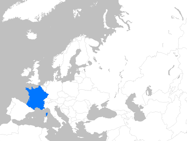
English: Location map of France within Europe |
| ਮਿਤੀ | 11 ਅਪਰੈਲ 2007 (original upload date) |
| ਸਰੋਤ | Transferred from en.wikipedia to Commons by Magnus Manske using CommonsHelper. |
| ਲਿਖਾਰੀ | Theeuro at ਅੰਗਰੇਜ਼ੀ ਵਿਕੀਪੀਡੀਆ |
ਲਸੰਸ
| This work has been released into the public domain by its author, Theeuro at ਅੰਗਰੇਜ਼ੀ ਵਿਕੀਪੀਡੀਆ. This applies worldwide. In some countries this may not be legally possible; if so: Theeuro grants anyone the right to use this work for any purpose, without any conditions, unless such conditions are required by law. |
Original upload log
The original description page was here. All following user names refer to en.wikipedia.
- 2007-04-11 17:13 Theeuro 1231×929× (41868 bytes) Location map of France within europe
ਫ਼ਾਈਲ ਦਾ ਅਤੀਤ
ਤਾਰੀਖ/ਸਮੇਂ ’ਤੇ ਕਲਿੱਕ ਕਰੋ ਤਾਂ ਉਸ ਸਮੇਂ ਦੀ ਫਾਈਲ ਪੇਸ਼ ਹੋ ਜਾਵੇਗੀ।
| ਮਿਤੀ/ਸਮਾਂ | ਨਮੂਨਾ | ਨਾਪ | ਵਰਤੋਂਕਾਰ | ਟਿੱਪਣੀ | |
|---|---|---|---|---|---|
| ਮੌਜੂਦਾ | 21:44, 29 ਮਾਰਚ 2010 | | 1,231 × 929 (41 KB) | File Upload Bot (Magnus Manske) | {{BotMoveToCommons|en.wikipedia|year={{subst:CURRENTYEAR}}|month={{subst:CURRENTMONTHNAME}}|day={{subst:CURRENTDAY}}}} {{Information |Description={{en|Location map of France within Europe}} |Source=Transferred from [http://en.wikipedia.org en.wikipedia]; |
ਫ਼ਾਈਲ ਦੀ ਵਰਤੋਂ
ਇਹ ਫਾਈਲ ਹੇਠਾਂ ਦਿੱਤਾ ਸਫ਼ਾ ਵਰਤਦਾ ਹੈ:
ਫ਼ਾਈਲ ਦੀ ਵਿਆਪਕ ਵਰਤੋਂ
ਇਸ ਫ਼ਾਈਲ ਨੂੰ ਹੋਰ ਹੇਠ ਲਿਖੇ ਵਿਕੀ ਵਰਤਦੇ ਹਨ:
- ban.wikipedia.org ਉੱਤੇ ਵਰਤੋਂ
- bg.wikipedia.org ਉੱਤੇ ਵਰਤੋਂ
- en.wikipedia.org ਉੱਤੇ ਵਰਤੋਂ
- et.wikipedia.org ਉੱਤੇ ਵਰਤੋਂ
- gu.wikipedia.org ਉੱਤੇ ਵਰਤੋਂ
- id.wikipedia.org ਉੱਤੇ ਵਰਤੋਂ
- mr.wikipedia.org ਉੱਤੇ ਵਰਤੋਂ
- my.wikipedia.org ਉੱਤੇ ਵਰਤੋਂ
- pnb.wikipedia.org ਉੱਤੇ ਵਰਤੋਂ
- sr.wikibooks.org ਉੱਤੇ ਵਰਤੋਂ
- ur.wikipedia.org ਉੱਤੇ ਵਰਤੋਂ
- yo.wikipedia.org ਉੱਤੇ ਵਰਤੋਂ