
ਤਸਵੀਰ:Belize location map.svg

Size of this PNG preview of this SVG file: 432 × 599 ਪਿਕਸਲ. ਹੋਰ ਰੈਜ਼ੋਲਿਊਸ਼ਨਜ਼: 173 × 240 ਪਿਕਸਲ | 346 × 480 ਪਿਕਸਲ | 554 × 768 ਪਿਕਸਲ | 739 × 1,024 ਪਿਕਸਲ | 1,478 × 2,048 ਪਿਕਸਲ | 788 × 1,092 ਪਿਕਸਲ.
ਅਸਲ ਫ਼ਾਈਲ (SVG ਫ਼ਾਈਲ, ਆਮ ਤੌਰ ’ਤੇ 788 × 1,092 ਪਿਕਸਲ, ਫ਼ਾਈਲ ਦਾ ਅਕਾਰ: 106 KB)
ਸਾਰ
| ਵੇਰਵਾ |
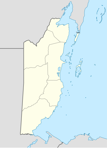
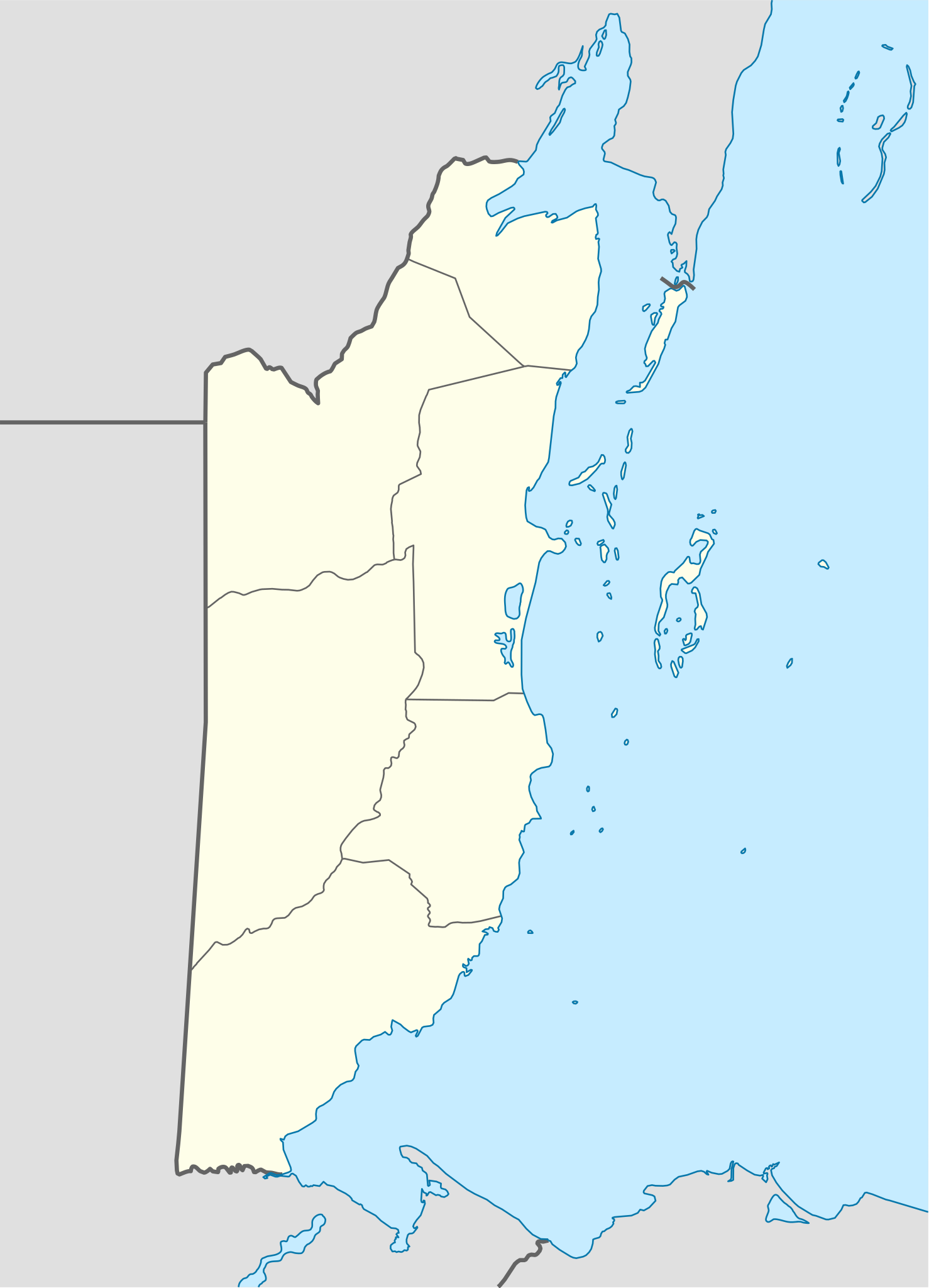
Deutsch: Positionskarte von Belize
Quadratische Plattkarte, N-S-Streckung 105 %. Geographische Begrenzung der Karte:
English: Location map of Belize
|
||||||||||||
| ਮਿਤੀ | |||||||||||||
| ਸਰੋਤ | Own work using: United States National Imagery and Mapping Agency data | ||||||||||||
| ਲਿਖਾਰੀ | NordNordWest | ||||||||||||
| SVG genesis |
|
||||||||||||

ਲਸੰਸ
NordNordWest, the copyright holder of this work, hereby publishes it under the following licenses:

|
ਇਸ ਸਫ਼ੇ ਨੂੰ ਗਨੂ ਲਸੰਸ, ਵਰਜ਼ਨ 1.2 ਜਾਂ ਫਰੀ ਸਾਫਟਵੇਅਰ ਫਾਊਂਡੇਸ਼ਨ ਦੁਆਰਾ ਪ੍ਰਕਾਸ਼ਿਤ ਕੀਤੇ ਨਵੇਂ ਵਰਜ਼ਨ ਤਹਿਤ ਕਾਪੀ ਕਰਨ, ਵੰਡਣ ਜਾਂ/ਅਤੇ ਤਬਦੀਲੀ ਕਰਨ ਦੀ ਖੁੱਲ ਹੈ; ਬਿਨਾ ਕਿਸੇ ਸਥਿਰ ਫਰੰਟ-ਕਵਰ ਜਾਂ ਬੈਕ ਕਵਰ ਲਿਖਤਾਂ ਤੋਂ ਬਿਨਾਂ। ਇਸ ਲਸੰਸ ਦੀ ਇੱਕ ਕਾਪੀ ਇਸ ਗਨੂ ਫਰੀ ਲਸੰਸ ਭਾਗ ਵਿੱਚ ਮੌਜੂਦ ਹੈ। |
ਇਸ ਫ਼ਾਈਲ ਦਾ ਲਸੰਸ ਕ੍ਰਿਏਟਿਵ ਕਾਮਨਜ਼ ਐਟ੍ਰੀਬਿਊਸ਼ਨ-ਸ਼ੇਅਰ ਅਲਾਈਕ 3.0 ਅਨਪੋਰਟੇਡ ਹੈ।
ਐਟਰੀਬਿਊਸ਼ਨ: NordNordWest
- ਤੁਹਾਨੂੰ ਖੁੱਲ੍ਹ ਹੈ:
- ਸਾਂਝਾ ਕਰਨ ਦੀ – ਰਚਨਾ ਨੂੰ ਕਾਪੀ, ਵੰਡਣਾ ਅਤੇ ਭੇਜਣਾ
- ਮੁੜ-ਰਲ਼ਾਉਣ ਦੀ – ਰਚਨਾ ਨੂੰ ਢਾਲਣਾ
- ਥੱਲੇ ਲਿਖੀਆਂ ਸ਼ਰਤਾਂ ਹੇਠ:
- ਗੁਣਾਂ ਦੀ ਦੱਸ – ਉਚਿਤ ਕ੍ਰੈਡਿਟ ਦੇਵੋ, ਲਾਇਸੰਸ ਦਾ ਇੱਕ ਲਿੰਕ ਪ੍ਰਦਾਨ ਕਰੋ ਅਤੇ ਇਹ ਦਰਸਾਓ ਕਿ ਕੀ ਤਬਦੀਲੀਆਂ ਕੀਤੀਆਂ ਗਈਆਂ ਸਨ। ਤੁਸੀਂ ਇਹ ਕਿਸੇ ਵੀ ਵਾਜਬ ਤਰੀਕੇ ਨਾਲ ਕਰ ਸਕਦੇ ਹੋ, ਪਰ ਇਹ ਤਰੀਕਾ ਅਜਿਹਾ ਨਹੀਂ ਹੋਣਾ ਚਾਹੀਦਾ ਜੋ ਇਹ ਦਰਸਾਵੇ ਕਿ ਲਾਇਸੰਸਕਰਤਾ ਤੁਹਾਨੂੰ ਜਾਂ ਤੁਹਾਡੀ ਵਰਤੋਂ ਦਾ ਸਮਰਥਨ ਕਰਦਾ ਹੈ।
- ਸ਼ੇਅਰ ਅਲਾਈਕ – ਜੇਕਰ ਤੁਸੀਂ ਸਮੱਗਰੀ ਨੂੰ ਰੀਮਿਕਸ ਕਰਦੇ ਹੋ, ਬਦਲਦੇ ਹੋ ਜਾਂ ਬਣਾਉਂਦੇ ਹੋ, ਤਾਂ ਆਪਣੇ ਯੋਗਦਾਨ ਇੱਕੋ ਜਿਹੇ ਜਾਂ ਅਨੁਕੂਲ ਲਾਇਸੰਸ ਦੇ ਅਧੀਨ ਕਰੋ।
ਤੁਸੀਂ ਆਪਣੀ ਮਰਜ਼ੀ ਦਾ ਲਸੰਸ ਚੁਣ ਸਕਦੇ ਹੋ।
ਫ਼ਾਈਲ ਦਾ ਅਤੀਤ
ਤਾਰੀਖ/ਸਮੇਂ ’ਤੇ ਕਲਿੱਕ ਕਰੋ ਤਾਂ ਉਸ ਸਮੇਂ ਦੀ ਫਾਈਲ ਪੇਸ਼ ਹੋ ਜਾਵੇਗੀ।
| ਮਿਤੀ/ਸਮਾਂ | ਨਮੂਨਾ | ਨਾਪ | ਵਰਤੋਂਕਾਰ | ਟਿੱਪਣੀ | |
|---|---|---|---|---|---|
| ਮੌਜੂਦਾ | 07:15, 10 ਦਸੰਬਰ 2016 | | 788 × 1,092 (106 KB) | Kaldari | Fixing Cayo District border per http://www.elections.gov.bz/modules/wfdownloads/visit.php?cid=109&lid=213 |
| 19:37, 4 ਸਤੰਬਰ 2008 |  | 788 × 1,092 (106 KB) | NordNordWest | size correction | |
| 19:34, 4 ਸਤੰਬਰ 2008 |  | 630 × 874 (106 KB) | NordNordWest | {{Information |Description= {{de|Positionskarte von Belize}} Quadratische Plattkarte, N-S-Streckung 105 %. Geographische Begrenzung der Karte: * N: 18.9° N * S: 15.6° N * W: 89.7° W * O: 87.2° W {{en|Location map of [[:en:Belize|Belize] |
ਫ਼ਾਈਲ ਦੀ ਵਰਤੋਂ
ਇਹ ਫਾਈਲ ਹੇਠਾਂ ਦਿੱਤਾ ਸਫ਼ਾ ਵਰਤਦਾ ਹੈ:
ਫ਼ਾਈਲ ਦੀ ਵਿਆਪਕ ਵਰਤੋਂ
ਇਸ ਫ਼ਾਈਲ ਨੂੰ ਹੋਰ ਹੇਠ ਲਿਖੇ ਵਿਕੀ ਵਰਤਦੇ ਹਨ:
- af.wikipedia.org ਉੱਤੇ ਵਰਤੋਂ
- an.wikipedia.org ਉੱਤੇ ਵਰਤੋਂ
- ar.wikipedia.org ਉੱਤੇ ਵਰਤੋਂ
- ast.wikipedia.org ਉੱਤੇ ਵਰਤੋਂ
- Ciudá de Belize
- Belmopán
- Gran furacu azul
- Módulu:Mapa de llocalización/datos/Belize
- Módulu:Mapa de llocalización/datos/Belize/usu
- Aeropuertu de Corozal
- Aeropuertu de Dangriga
- Aeropuertu de Placencia
- Aeropuertu de Punta Gorda
- Aeropuertu de San Pedro
- Pista d'Aterrizaxe Héctor Silva
- Puertu de Belize
- Puertu de Big Creek
- az.wikipedia.org ਉੱਤੇ ਵਰਤੋਂ
- ba.wikipedia.org ਉੱਤੇ ਵਰਤੋਂ
- be-tarask.wikipedia.org ਉੱਤੇ ਵਰਤੋਂ
- be.wikipedia.org ਉੱਤੇ ਵਰਤੋਂ
- bg.wikipedia.org ਉੱਤੇ ਵਰਤੋਂ
- bn.wikipedia.org ਉੱਤੇ ਵਰਤੋਂ
- bs.wikipedia.org ਉੱਤੇ ਵਰਤੋਂ
- ceb.wikipedia.org ਉੱਤੇ ਵਰਤੋਂ
ਇਸ ਫ਼ਾਈਲ ਦੀ ਹੋਰ ਵਿਆਪਕ ਵਰਤੋਂ ਵੇਖੋ।