
ਤਸਵੀਰ:East Timor relief location map.jpg
ਇਸ ਝਾਤ ਦਾ ਅਕਾਰ: 800 × 489 ਪਿਕਸਲ. ਹੋਰ ਰੈਜ਼ੋਲਿਊਸ਼ਨਜ਼: 320 × 196 ਪਿਕਸਲ | 640 × 391 ਪਿਕਸਲ | 1,024 × 626 ਪਿਕਸਲ | 1,280 × 783 ਪਿਕਸਲ | 2,000 × 1,223 ਪਿਕਸਲ.
ਅਸਲ ਫ਼ਾਈਲ (2,000 × 1,223 ਪਿਕਸਲ, ਫ਼ਾਈਲ ਅਕਾਰ: 657 KB, MIME ਕਿਸਮ: image/jpeg)
| ਵੇਰਵਾ |
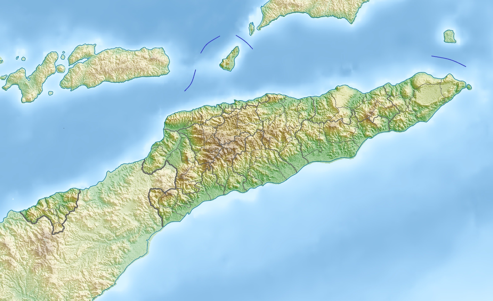
Deutsch: Physische Positionskarte von Osttimor, Grenzen von 2003–2015
Quadratische Plattkarte. Geographische Begrenzung der Karte:
English: Physical location map of East Timor
Equirectangular projection. Geographic limits of the map:
|
| ਮਿਤੀ | |
| ਸਰੋਤ | ਆਪਣਾ ਕੰਮ, using map data from administrative map by NordNordWest. The relief was created from SRTM-3 relief data |
| ਲਿਖਾਰੀ | Carport |
| ਇਜਾਜ਼ਤ (ਇਸ ਫ਼ਾਈਲ ਦੀ ਮੁੜਵਰਤੋਂ ਕਰੋ) |
This file is licensed under the Creative Commons Attribution 3.0 Unported license.
|
| Other versions |
Derivative works of this file: Fuiloro Plateau.jpg
|

ਫ਼ਾਈਲ ਦਾ ਅਤੀਤ
ਤਾਰੀਖ/ਸਮੇਂ ’ਤੇ ਕਲਿੱਕ ਕਰੋ ਤਾਂ ਉਸ ਸਮੇਂ ਦੀ ਫਾਈਲ ਪੇਸ਼ ਹੋ ਜਾਵੇਗੀ।
| ਮਿਤੀ/ਸਮਾਂ | ਨਮੂਨਾ | ਨਾਪ | ਵਰਤੋਂਕਾਰ | ਟਿੱਪਣੀ | |
|---|---|---|---|---|---|
| ਮੌਜੂਦਾ | 10:36, 17 ਨਵੰਬਰ 2012 | | 2,000 × 1,223 (657 KB) | Jaybear | Borders between islands marked in reference to the map "File:Vychodni Timor.png"; |
| 09:26, 28 ਮਾਰਚ 2010 |  | 2,000 × 1,223 (748 KB) | Carport | {{Information |Description={{de|Physische Positionskarte von {{w|Osttimor|3=de}}}} Quadratische Plattkarte. Geographische Begrenzung der Karte: * N: 7.8° S * S: 10.0° S * W: 123.9° O * O: 127.5° O {{en|Physical location map of {{w|East Timor}}}} Equir |
ਫ਼ਾਈਲ ਦੀ ਵਰਤੋਂ
ਇਹ ਫਾਈਲ ਹੇਠਾਂ ਦਿੱਤਾ ਸਫ਼ਾ ਵਰਤਦਾ ਹੈ:
ਫ਼ਾਈਲ ਦੀ ਵਿਆਪਕ ਵਰਤੋਂ
ਇਸ ਫ਼ਾਈਲ ਨੂੰ ਹੋਰ ਹੇਠ ਲਿਖੇ ਵਿਕੀ ਵਰਤਦੇ ਹਨ:
- ar.wikipedia.org ਉੱਤੇ ਵਰਤੋਂ
- ast.wikipedia.org ਉੱਤੇ ਵਰਤੋਂ
- az.wikipedia.org ਉੱਤੇ ਵਰਤੋਂ
- ba.wikipedia.org ਉੱਤੇ ਵਰਤੋਂ
- bcl.wikipedia.org ਉੱਤੇ ਵਰਤੋਂ
- be.wikipedia.org ਉੱਤੇ ਵਰਤੋਂ
- bg.wikipedia.org ਉੱਤੇ ਵਰਤੋਂ
- bn.wikipedia.org ਉੱਤੇ ਵਰਤੋਂ
- bs.wikipedia.org ਉੱਤੇ ਵਰਤੋਂ
- ca.wikipedia.org ਉੱਤੇ ਵਰਤੋਂ
- ceb.wikipedia.org ਉੱਤੇ ਵਰਤੋਂ
- ce.wikipedia.org ਉੱਤੇ ਵਰਤੋਂ
- ckb.wikipedia.org ਉੱਤੇ ਵਰਤੋਂ
- cs.wikipedia.org ਉੱਤੇ ਵਰਤੋਂ
- da.wikipedia.org ਉੱਤੇ ਵਰਤੋਂ
- de.wikipedia.org ਉੱਤੇ ਵਰਤੋਂ
- Osttimor
- Jaco (Osttimor)
- Liste der Städte in Osttimor
- Geschichte Osttimors
- Tatamailau
- Matebian
- Benutzer:J. Patrick Fischer/Nützliches
- Cablac
- Vorlage Diskussion:Infobox Berg/Archiv/1
- Vorlage:Positionskarte Osttimor
- Kisar (Indonesien)
- Ira Lalaro
- Maubarasee
- Tasitolu
- Monte Mundo Perdido
- Leolaco
- Wikipedia:Kartenwerkstatt/Positionskarten/Asien
- Curi (Berg)
- Paitchau
- Benutzer:Carport/Galerie
- Legumau
- Straße von Ombai
- Straße von Wetar
ਇਸ ਫ਼ਾਈਲ ਦੀ ਹੋਰ ਵਿਆਪਕ ਵਰਤੋਂ ਵੇਖੋ।