
ਤਸਵੀਰ:Guatemala location map.svg

Size of this PNG preview of this SVG file: 545 × 599 ਪਿਕਸਲ. ਹੋਰ ਰੈਜ਼ੋਲਿਊਸ਼ਨਜ਼: 218 × 240 ਪਿਕਸਲ | 436 × 480 ਪਿਕਸਲ | 698 × 768 ਪਿਕਸਲ | 931 × 1,024 ਪਿਕਸਲ | 1,862 × 2,048 ਪਿਕਸਲ | 982 × 1,080 ਪਿਕਸਲ.
ਅਸਲ ਫ਼ਾਈਲ (SVG ਫ਼ਾਈਲ, ਆਮ ਤੌਰ ’ਤੇ 982 × 1,080 ਪਿਕਸਲ, ਫ਼ਾਈਲ ਦਾ ਅਕਾਰ: 120 KB)
ਸਾਰ
| ਵੇਰਵਾ |
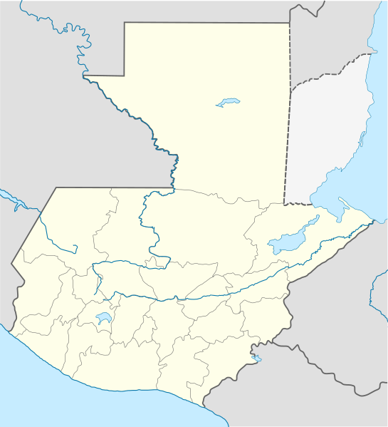
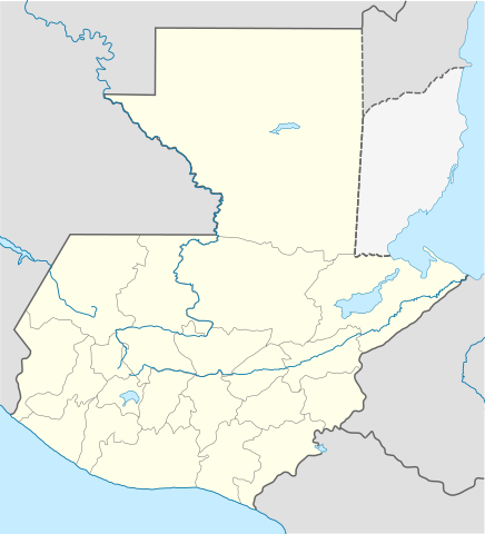
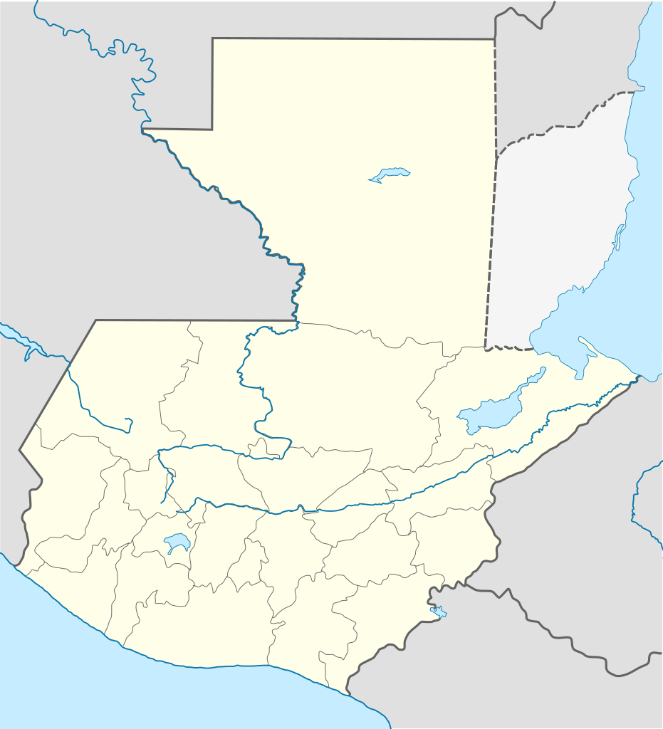
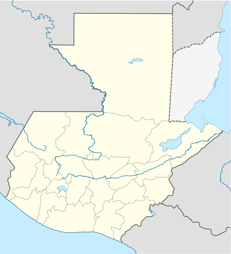
Deutsch: Positionskarte von Guatemala
Quadratische Plattkarte Русский: Карта расположения Гватемалы
English: Location map of Guatemala
Equirectangular projection, Geographic limits of the map:
Հայերեն: Գվատեմալայի տեղորոշման քարտեզ
Ուղղանկյուն պրոյեկցիա։ Քարտեզում աշխարհագրական սահմանները.
|
||
| ਮਿਤੀ | |||
| ਸਰੋਤ | |||
| ਲਿਖਾਰੀ |
|
||
| SVG genesis | This W3C-invalid vector image was created with Adobe Illustrator, and with Inkscape.
|
ਲਸੰਸ
ਇਸ ਫ਼ਾਈਲ ਦਾ ਲਸੰਸ ਕ੍ਰਿਏਟਿਵ ਕਾਮਨਜ਼ ਐਟ੍ਰੀਬਿਊਸ਼ਨ-ਸ਼ੇਅਰ ਅਲਾਈਕ 3.0 ਅਨਪੋਰਟੇਡ ਹੈ।
- ਤੁਹਾਨੂੰ ਖੁੱਲ੍ਹ ਹੈ:
- ਸਾਂਝਾ ਕਰਨ ਦੀ – ਰਚਨਾ ਨੂੰ ਕਾਪੀ, ਵੰਡਣਾ ਅਤੇ ਭੇਜਣਾ
- ਮੁੜ-ਰਲ਼ਾਉਣ ਦੀ – ਰਚਨਾ ਨੂੰ ਢਾਲਣਾ
- ਥੱਲੇ ਲਿਖੀਆਂ ਸ਼ਰਤਾਂ ਹੇਠ:
- ਗੁਣਾਂ ਦੀ ਦੱਸ – ਉਚਿਤ ਕ੍ਰੈਡਿਟ ਦੇਵੋ, ਲਾਇਸੰਸ ਦਾ ਇੱਕ ਲਿੰਕ ਪ੍ਰਦਾਨ ਕਰੋ ਅਤੇ ਇਹ ਦਰਸਾਓ ਕਿ ਕੀ ਤਬਦੀਲੀਆਂ ਕੀਤੀਆਂ ਗਈਆਂ ਸਨ। ਤੁਸੀਂ ਇਹ ਕਿਸੇ ਵੀ ਵਾਜਬ ਤਰੀਕੇ ਨਾਲ ਕਰ ਸਕਦੇ ਹੋ, ਪਰ ਇਹ ਤਰੀਕਾ ਅਜਿਹਾ ਨਹੀਂ ਹੋਣਾ ਚਾਹੀਦਾ ਜੋ ਇਹ ਦਰਸਾਵੇ ਕਿ ਲਾਇਸੰਸਕਰਤਾ ਤੁਹਾਨੂੰ ਜਾਂ ਤੁਹਾਡੀ ਵਰਤੋਂ ਦਾ ਸਮਰਥਨ ਕਰਦਾ ਹੈ।
- ਸ਼ੇਅਰ ਅਲਾਈਕ – ਜੇਕਰ ਤੁਸੀਂ ਸਮੱਗਰੀ ਨੂੰ ਰੀਮਿਕਸ ਕਰਦੇ ਹੋ, ਬਦਲਦੇ ਹੋ ਜਾਂ ਬਣਾਉਂਦੇ ਹੋ, ਤਾਂ ਆਪਣੇ ਯੋਗਦਾਨ ਇੱਕੋ ਜਿਹੇ ਜਾਂ ਅਨੁਕੂਲ ਲਾਇਸੰਸ ਦੇ ਅਧੀਨ ਕਰੋ।
Original upload log
This image is a derivative work of the following images:
- File:Guatemala Departments.svg licensed with Cc-by-sa-3.0, Cc-by-sa-3.0/ru, GFDL
- 2009-10-24T20:10:21Z Daryona 982x1080 (139456 Bytes) {{Information |Description={{en|1=Guatemala map}} {{ru|1=Карта гватемалы с департаментами}} |Source={{own}} |Author=[[User:Daryona|Daryona]] |Date=2009-10-24 |Permission= |other_versions= }} [[Ca
- File:Mexico location map.svg licensed with Cc-by-3.0, GFDL
- 2009-03-11T18:34:05Z NordNordWest 2029x1326 (882028 Bytes) {{Information |Description= {{de|Positionskarte von [[:de:Mexiko|Mexiko]]}} Quadratische Plattkarte, N-S-Streckung 110 %. Geographische Begrenzung der Karte: * N: 33.3° N * S: 14.2° N * W: 118.5° W * O: 86.3° W {{en|Locat
Uploaded with derivativeFX
ਫ਼ਾਈਲ ਦਾ ਅਤੀਤ
ਤਾਰੀਖ/ਸਮੇਂ ’ਤੇ ਕਲਿੱਕ ਕਰੋ ਤਾਂ ਉਸ ਸਮੇਂ ਦੀ ਫਾਈਲ ਪੇਸ਼ ਹੋ ਜਾਵੇਗੀ।
| ਮਿਤੀ/ਸਮਾਂ | ਨਮੂਨਾ | ਨਾਪ | ਵਰਤੋਂਕਾਰ | ਟਿੱਪਣੀ | |
|---|---|---|---|---|---|
| ਮੌਜੂਦਾ | 19:11, 18 ਅਕਤੂਬਰ 2022 | | 982 × 1,080 (120 KB) | Janitoalevic | Fixing |
| 18:59, 18 ਅਕਤੂਬਰ 2022 |  | 982 × 1,080 (102 KB) | Janitoalevic | Added disputed territory | |
| 21:05, 26 ਅਕਤੂਬਰ 2009 |  | 982 × 1,080 (154 KB) | Spischot | {{Information |Description={{de|Positionskarte von Guatemala}} Quadratische Plattkarte {{en|Location map of Guatemala}} Equirectangular projection, Geographic limits of the map: * N: 18.05° N * S: 13.54° N * W: 9 |
ਫ਼ਾਈਲ ਦੀ ਵਰਤੋਂ
ਇਹ ਫਾਈਲ ਹੇਠਾਂ ਦਿੱਤਾ ਸਫ਼ਾ ਵਰਤਦਾ ਹੈ:
ਫ਼ਾਈਲ ਦੀ ਵਿਆਪਕ ਵਰਤੋਂ
ਇਸ ਫ਼ਾਈਲ ਨੂੰ ਹੋਰ ਹੇਠ ਲਿਖੇ ਵਿਕੀ ਵਰਤਦੇ ਹਨ:
- af.wikipedia.org ਉੱਤੇ ਵਰਤੋਂ
- an.wikipedia.org ਉੱਤੇ ਵਰਤੋਂ
- ar.wikipedia.org ਉੱਤੇ ਵਰਤੋਂ
- ast.wikipedia.org ਉੱਤੇ ਵਰਤੋਂ
- Puerto San José
- San Pedro Sacatepéquez (Guatemala)
- Ciudá de Guatemala
- Volcán Santa María
- Volcán de Fueu
- Módulu:Mapa de llocalización/datos/Guatemala/usu
- Uaxactún
- Quiriguá
- Terremotu de Guatemala de 1902
- Campusantu de la Ciudá de Guatemala
- Aeropuertu Bananera
- Aeropuertu de Coatepeque
- Aeropuertu de Cobán
- Aeropuertu de Huehuetenango
- Aeropuertu de Playa Grande
- Aeropuertu de Puerto Barrio
- Aeropuertu de Puerto San José
- Aeropuertu de Quetzaltenango
- Aeropuertu de Quiché
- Aeropuertu de Retalhuleu
- Puerto Barrio
- Puertu Quetzal
- Santo Tomás de Castilla
- Plantía:Mapa de llocalización de Guatemala
- Volcán San Pedro (Guatemala)
- az.wikipedia.org ਉੱਤੇ ਵਰਤੋਂ
- ba.wikipedia.org ਉੱਤੇ ਵਰਤੋਂ
- be-tarask.wikipedia.org ਉੱਤੇ ਵਰਤੋਂ
- be.wikipedia.org ਉੱਤੇ ਵਰਤੋਂ
- bg.wikipedia.org ਉੱਤੇ ਵਰਤੋਂ
- bn.wikipedia.org ਉੱਤੇ ਵਰਤੋਂ
- bs.wikipedia.org ਉੱਤੇ ਵਰਤੋਂ
ਇਸ ਫ਼ਾਈਲ ਦੀ ਹੋਰ ਵਿਆਪਕ ਵਰਤੋਂ ਵੇਖੋ।