
ਤਸਵੀਰ:India Uttar Pradesh location map.svg

ਅਸਲ ਫ਼ਾਈਲ (SVG ਫ਼ਾਈਲ, ਆਮ ਤੌਰ ’ਤੇ 1,006 × 981 ਪਿਕਸਲ, ਫ਼ਾਈਲ ਦਾ ਅਕਾਰ: 776 KB)
ਸਾਰ
| ਵੇਰਵਾ |
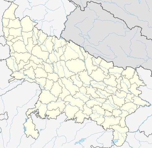
Quadratische Plattkarte, N-S-Streckung 112 %. Geographische Begrenzung der Karte:
Equirectangular projection, N/S stretching 112 %. Geographic limits of the map:
|
|
| ਮਿਤੀ | ||
| ਸਰੋਤ |
ਆਪਣਾ ਕੰਮ, using
|
|
| ਲਿਖਾਰੀ | NordNordWest | |
| ਇਜਾਜ਼ਤ (ਇਸ ਫ਼ਾਈਲ ਦੀ ਮੁੜਵਰਤੋਂ ਕਰੋ) |
This file is licensed under the Creative Commons Attribution-Share Alike 3.0 Germany license.
 This file is licensed under the Creative Commons Attribution-Share Alike 3.0 Germany license.
|


|
This map has been made or improved in the German Kartenwerkstatt (Map Lab). You can propose maps to improve as well.
|
ਫ਼ਾਈਲ ਦਾ ਅਤੀਤ
ਤਾਰੀਖ/ਸਮੇਂ ’ਤੇ ਕਲਿੱਕ ਕਰੋ ਤਾਂ ਉਸ ਸਮੇਂ ਦੀ ਫਾਈਲ ਪੇਸ਼ ਹੋ ਜਾਵੇਗੀ।
| ਮਿਤੀ/ਸਮਾਂ | ਨਮੂਨਾ | ਨਾਪ | ਵਰਤੋਂਕਾਰ | ਟਿੱਪਣੀ | |
|---|---|---|---|---|---|
| ਮੌਜੂਦਾ | 06:40, 1 ਮਈ 2023 | | 1,006 × 981 (776 KB) | C1MM | c borders |
| 04:44, 5 ਜਨਵਰੀ 2022 |  | 1,066 × 927 (777 KB) | C1MM | Corrected rivers and dist boundaries | |
| 22:54, 12 ਫ਼ਰਵਰੀ 2021 |  | 909 × 886 (262 KB) | C1MM | Added Chhattisgarh | |
| 00:41, 8 ਜਨਵਰੀ 2021 |  | 909 × 886 (261 KB) | C1MM | Added Amethi district | |
| 21:29, 22 ਅਪਰੈਲ 2020 |  | 909 × 886 (249 KB) | NordNordWest | Reverted to version as of 19:51, 9 October 2012 (UTC); no need to change colours | |
| 21:00, 22 ਅਪਰੈਲ 2020 |  | 909 × 886 (292 KB) | C1MM | Fixed rivers | |
| 20:51, 22 ਅਪਰੈਲ 2020 |  | 909 × 886 (290 KB) | C1MM | Fixed colors and made rivers along borders | |
| 19:51, 9 ਅਕਤੂਬਰ 2012 |  | 909 × 886 (249 KB) | NordNordWest | =={{int:filedesc}}== {{Information |Description= {{de|Positionskarte von Uttar Pradesh, Indien}} Quadratische Plattkarte, N-S-Streckung 112 %. Geographische Begrenzung der Karte: * N: 30.5° N * S: 23.8° N * W: 77.... |
ਫ਼ਾਈਲ ਦੀ ਵਰਤੋਂ
ਇਹ ਫਾਈਲ ਹੇਠਾਂ ਦਿੱਤੇ 20 ਸਫ਼ੇ ਵਰਤਦੇ ਹਨ:
- 2013 ਮੁਜੱਫ਼ਰਨਗਰ ਦੰਗੇ
- ਆਗਰਾ ਫੋਰਟ ਰੇਲਵੇ ਸਟੇਸ਼ਨ
- ਉੱਤਰ ਪ੍ਰਦੇਸ਼
- ਕਾਕੋਰੀ
- ਗਾਜ਼ੀਆਬਾਦ
- ਗੋਕੁਲ
- ਗੰਗਨੌਲੀ
- ਫ਼ਤਹਿਗੜ੍ਹ
- ਰਾਮ ਜਨਮਭੂਮੀ
- ਰਾਮ ਮੰਦਰ
- ਵਿਧਾਨ ਭਵਨ, ਲਖਨਊ
- ਵ੍ਰਿੰਦਾਵਨ
- ਹੈਦਰਪੁਰ ਵੈਟਲੈਂਡ
- ਫਰਮਾ:Location map India, Uttar Pradesh
- ਫਰਮਾ:Location map ਉੱਤਰ ਪ੍ਰਦੇਸ਼
- ਫਰਮਾ:Location map ਉੱਤਰ ਪ੍ਰਦੇਸ਼, ਭਾਰਤ
- ਫਰਮਾ:ਸਥਿਤੀ ਨਕਸ਼ਾ ਭਾਰਤ ਉੱਤਰ ਪ੍ਰਦੇਸ਼
- ਮੌਡਿਊਲ:Location map/data/India Uttar Pradesh
- ਮੌਡਿਊਲ:Location map/data/India Uttar Pradesh/doc
- ਮੌਡਿਊਲ:Location map/data/Uttar Pradesh
ਫ਼ਾਈਲ ਦੀ ਵਿਆਪਕ ਵਰਤੋਂ
ਇਸ ਫ਼ਾਈਲ ਨੂੰ ਹੋਰ ਹੇਠ ਲਿਖੇ ਵਿਕੀ ਵਰਤਦੇ ਹਨ:
- ar.wikipedia.org ਉੱਤੇ ਵਰਤੋਂ
- as.wikipedia.org ਉੱਤੇ ਵਰਤੋਂ
- awa.wikipedia.org ਉੱਤੇ ਵਰਤੋਂ
- azb.wikipedia.org ਉੱਤੇ ਵਰਤੋਂ
- اتاوه
- کینتور
- علیپورا
- فولپور
- فولی (هیندوستان)
- ففنا (هیندوستان)
- فارندا
- سارسای ناوار
- ساروخیپورا
- ساراوان, جاونپور
- ساراسارا, یوتار پرادش
- ساراییا بور
- سارایبیرو
- مداوارا کالا
- سانخنی
- ماوجامپور
- ماسکانوا
- سانای, بوداون
- سامرر (هیندوستان)
- کالاند, ایندیا
- مارتین پوروا
- سامبالهرا
- کاکورا
- سالارپور, بوداون
- کایتورا, جاونپور
- ساییان, آقرا
- ساینتال, یوتار پرادش
- سایفای
- کاقارول
- سایدناقار
- ساهاجانپور
- هالاور
- سافدارقانج
- سادپور, یوتار پرادش
- روپایدیها
- رابارلی
- کادار چووک
ਇਸ ਫ਼ਾਈਲ ਦੀ ਹੋਰ ਵਿਆਪਕ ਵਰਤੋਂ ਵੇਖੋ।