
ਤਸਵੀਰ:Armenia location map.svg

Size of this PNG preview of this SVG file: 585 × 600 ਪਿਕਸਲ. ਹੋਰ ਰੈਜ਼ੋਲਿਊਸ਼ਨਜ਼: 234 × 240 ਪਿਕਸਲ | 468 × 480 ਪਿਕਸਲ | 749 × 768 ਪਿਕਸਲ | 999 × 1,024 ਪਿਕਸਲ | 1,998 × 2,048 ਪਿਕਸਲ | 1,169 × 1,198 ਪਿਕਸਲ.
ਅਸਲ ਫ਼ਾਈਲ (SVG ਫ਼ਾਈਲ, ਆਮ ਤੌਰ ’ਤੇ 1,169 × 1,198 ਪਿਕਸਲ, ਫ਼ਾਈਲ ਦਾ ਅਕਾਰ: 77 KB)

|
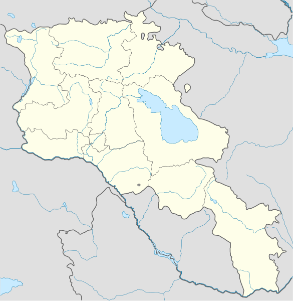
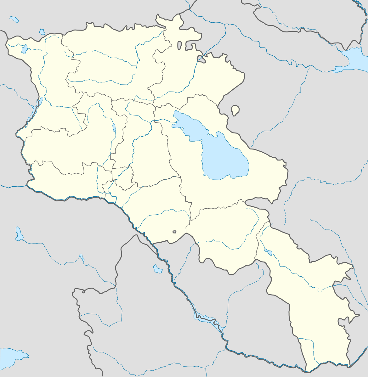
The boundaries on this map show the de facto situation. This is just one of several different views on the subject (see COM:NPOV). |
ਸਾਰ
| ਵੇਰਵਾ |
Deutsch: Positionskarte von Armenien. Quadratische Plattkarte, N-S-Streckung 130 %. Geographische Begrenzung der Karte:
English: Location map of Armenia. Equirectangular projection, N/S stretching 130 %. Geographic limits of the map:
Français : Carte administrative muette de l'Arménie. Projection cylindrique équidistante, avec étirement nord-sud de 130%.
|
||
| ਮਿਤੀ | |||
| ਸਰੋਤ |
ਆਪਣਾ ਕੰਮ, using
|
||
| ਲਿਖਾਰੀ | NordNordWest | ||
| Other versions | Derivative works of this file: Am-map he.svg | ||
| SVG genesis | |||
| Graphic Lab |
|

ਲਸੰਸ
I, the copyright holder of this work, hereby publish it under the following license:
ਇਸ ਫ਼ਾਈਲ ਦਾ ਲਸੰਸ ਕ੍ਰਿਏਟਿਵ ਕਾਮਨਜ਼ ਐਟ੍ਰੀਬਿਊਸ਼ਨ-ਸ਼ੇਅਰ ਅਲਾਈਕ 3.0 ਅਨਪੋਰਟੇਡ ਹੈ।
- ਤੁਹਾਨੂੰ ਖੁੱਲ੍ਹ ਹੈ:
- ਸਾਂਝਾ ਕਰਨ ਦੀ – ਰਚਨਾ ਨੂੰ ਕਾਪੀ, ਵੰਡਣਾ ਅਤੇ ਭੇਜਣਾ
- ਮੁੜ-ਰਲ਼ਾਉਣ ਦੀ – ਰਚਨਾ ਨੂੰ ਢਾਲਣਾ
- ਥੱਲੇ ਲਿਖੀਆਂ ਸ਼ਰਤਾਂ ਹੇਠ:
- ਗੁਣਾਂ ਦੀ ਦੱਸ – ਉਚਿਤ ਕ੍ਰੈਡਿਟ ਦੇਵੋ, ਲਾਇਸੰਸ ਦਾ ਇੱਕ ਲਿੰਕ ਪ੍ਰਦਾਨ ਕਰੋ ਅਤੇ ਇਹ ਦਰਸਾਓ ਕਿ ਕੀ ਤਬਦੀਲੀਆਂ ਕੀਤੀਆਂ ਗਈਆਂ ਸਨ। ਤੁਸੀਂ ਇਹ ਕਿਸੇ ਵੀ ਵਾਜਬ ਤਰੀਕੇ ਨਾਲ ਕਰ ਸਕਦੇ ਹੋ, ਪਰ ਇਹ ਤਰੀਕਾ ਅਜਿਹਾ ਨਹੀਂ ਹੋਣਾ ਚਾਹੀਦਾ ਜੋ ਇਹ ਦਰਸਾਵੇ ਕਿ ਲਾਇਸੰਸਕਰਤਾ ਤੁਹਾਨੂੰ ਜਾਂ ਤੁਹਾਡੀ ਵਰਤੋਂ ਦਾ ਸਮਰਥਨ ਕਰਦਾ ਹੈ।
- ਸ਼ੇਅਰ ਅਲਾਈਕ – ਜੇਕਰ ਤੁਸੀਂ ਸਮੱਗਰੀ ਨੂੰ ਰੀਮਿਕਸ ਕਰਦੇ ਹੋ, ਬਦਲਦੇ ਹੋ ਜਾਂ ਬਣਾਉਂਦੇ ਹੋ, ਤਾਂ ਆਪਣੇ ਯੋਗਦਾਨ ਇੱਕੋ ਜਿਹੇ ਜਾਂ ਅਨੁਕੂਲ ਲਾਇਸੰਸ ਦੇ ਅਧੀਨ ਕਰੋ।
ਫ਼ਾਈਲ ਦਾ ਅਤੀਤ
ਤਾਰੀਖ/ਸਮੇਂ ’ਤੇ ਕਲਿੱਕ ਕਰੋ ਤਾਂ ਉਸ ਸਮੇਂ ਦੀ ਫਾਈਲ ਪੇਸ਼ ਹੋ ਜਾਵੇਗੀ।
| ਮਿਤੀ/ਸਮਾਂ | ਨਮੂਨਾ | ਨਾਪ | ਵਰਤੋਂਕਾਰ | ਟਿੱਪਣੀ | |
|---|---|---|---|---|---|
| ਮੌਜੂਦਾ | 23:01, 22 ਜਨਵਰੀ 2022 | | 1,169 × 1,198 (77 KB) | Geralt Riv | fix the svg error |
| 05:45, 19 ਨਵੰਬਰ 2021 |  | 1,169 × 1,198 (209 KB) | A2D2 | The de facto border changed after the Second Nagorno-Karabakh War in 2020. | |
| 14:38, 3 ਮਾਰਚ 2014 |  | 1,169 × 1,198 (154 KB) | NordNordWest | Reverted to version as of 17:18, 18 January 2014; please find your way to the discussion page first before reverting anything | |
| 10:18, 3 ਮਾਰਚ 2014 |  | 1,169 × 1,198 (209 KB) | A2D2 | Reverted to version as of 19:55, 5 April 2012 | |
| 17:18, 18 ਜਨਵਰੀ 2014 |  | 1,169 × 1,198 (154 KB) | NordNordWest | + de facto border | |
| 19:55, 5 ਅਪਰੈਲ 2012 |  | 1,169 × 1,198 (209 KB) | Sémhur | ...with the former size | |
| 19:47, 5 ਅਪਰੈਲ 2012 |  | 1,000 × 1,024 (208 KB) | Sémhur | Adding few rivers : Dzoraget, Aghstafa, Azat, Vedi and Megri | |
| 11:52, 15 ਜਨਵਰੀ 2011 |  | 1,169 × 1,198 (271 KB) | NordNordWest | according to http://commons.wikimedia.org/w/index.php?title=User_talk%3AVarmin&action=historysubmit&diff=48288330&oldid=40674250 | |
| 17:54, 14 ਜਨਵਰੀ 2011 |  | 1,160 × 1,190 (286 KB) | Varmin | concordance avec les autres cartes vectorisée. | |
| 16:58, 28 ਅਗਸਤ 2010 |  | 1,169 × 1,198 (271 KB) | NordNordWest | Barxudarlı, Yuxarı Əskipara and Karki stay officially non-Armenian (see en:List of enclaves and exclaves), no changes without discussion |
ਫ਼ਾਈਲ ਦੀ ਵਰਤੋਂ
ਇਸ ਫ਼ਾਈਲ ਦੀ ਵਰਤੋਂ ਕਰਨ ਵਾਲੇ ਕੋਈ ਪੰਨੇ ਨਹੀਂ ਹਨ।
ਫ਼ਾਈਲ ਦੀ ਵਿਆਪਕ ਵਰਤੋਂ
ਇਸ ਫ਼ਾਈਲ ਨੂੰ ਹੋਰ ਹੇਠ ਲਿਖੇ ਵਿਕੀ ਵਰਤਦੇ ਹਨ:
- av.wikipedia.org ਉੱਤੇ ਵਰਤੋਂ
- az.wikisource.org ਉੱਤੇ ਵਰਤੋਂ
- ba.wikipedia.org ਉੱਤੇ ਵਰਤੋਂ
- bn.wikipedia.org ਉੱਤੇ ਵਰਤੋਂ
- bs.wikipedia.org ਉੱਤੇ ਵਰਤੋਂ
- ckb.wikipedia.org ਉੱਤੇ ਵਰਤੋਂ
- de.wikipedia.org ਉੱਤੇ ਵਰਤੋਂ
- de.wikivoyage.org ਉੱਤੇ ਵਰਤੋਂ
- en.wikipedia.org ਉੱਤੇ ਵਰਤੋਂ
- eo.wikipedia.org ਉੱਤੇ ਵਰਤੋਂ
- es.wikipedia.org ਉੱਤੇ ਵਰਤੋਂ
- fa.wikipedia.org ਉੱਤੇ ਵਰਤੋਂ
- fr.wikipedia.org ਉੱਤੇ ਵਰਤੋਂ
- Stade Hrazdan
- Stade Républicain Vazgen-Sargsian
- Stade Mika
- Stade Alashkert
- Stade Kasakhi Marzik
- Université d'État d'ingénierie d'Arménie
- Projet:Cartographie/Cartes standards/Pays
- Mausolée d'Aghdsk
- Erablur
- Université française en Arménie
- Wikipédia:Atelier graphique/Cartes/Archives/avril 2012
- Cimetière de Noradouz
- Université américaine d'Arménie
- Cinéma Moscou
- Temple de Garni
- Maison-musée Vazgen-Sargsian
- Module:Carte/données/arménie
- Musée historique de Sisian
- Stade Urartu
- Stade de l'Académie de football d'Erevan
- gv.wikipedia.org ਉੱਤੇ ਵਰਤੋਂ
- hy.wikipedia.org ਉੱਤੇ ਵਰਤੋਂ
- incubator.wikimedia.org ਉੱਤੇ ਵਰਤੋਂ
ਇਸ ਫ਼ਾਈਲ ਦੀ ਹੋਰ ਵਿਆਪਕ ਵਰਤੋਂ ਵੇਖੋ।