
ਤਸਵੀਰ:Pichavaram mangrove forest panorama.jpg
ਇਸ ਝਾਤ ਦਾ ਅਕਾਰ: 800 × 282 ਪਿਕਸਲ. ਹੋਰ ਰੈਜ਼ੋਲਿਊਸ਼ਨਜ਼: 320 × 113 ਪਿਕਸਲ | 640 × 225 ਪਿਕਸਲ | 1,024 × 361 ਪਿਕਸਲ | 1,280 × 451 ਪਿਕਸਲ | 4,472 × 1,575 ਪਿਕਸਲ.
ਅਸਲ ਫ਼ਾਈਲ (4,472 × 1,575 ਪਿਕਸਲ, ਫ਼ਾਈਲ ਅਕਾਰ: 3.12 MB, MIME ਕਿਸਮ: image/jpeg)
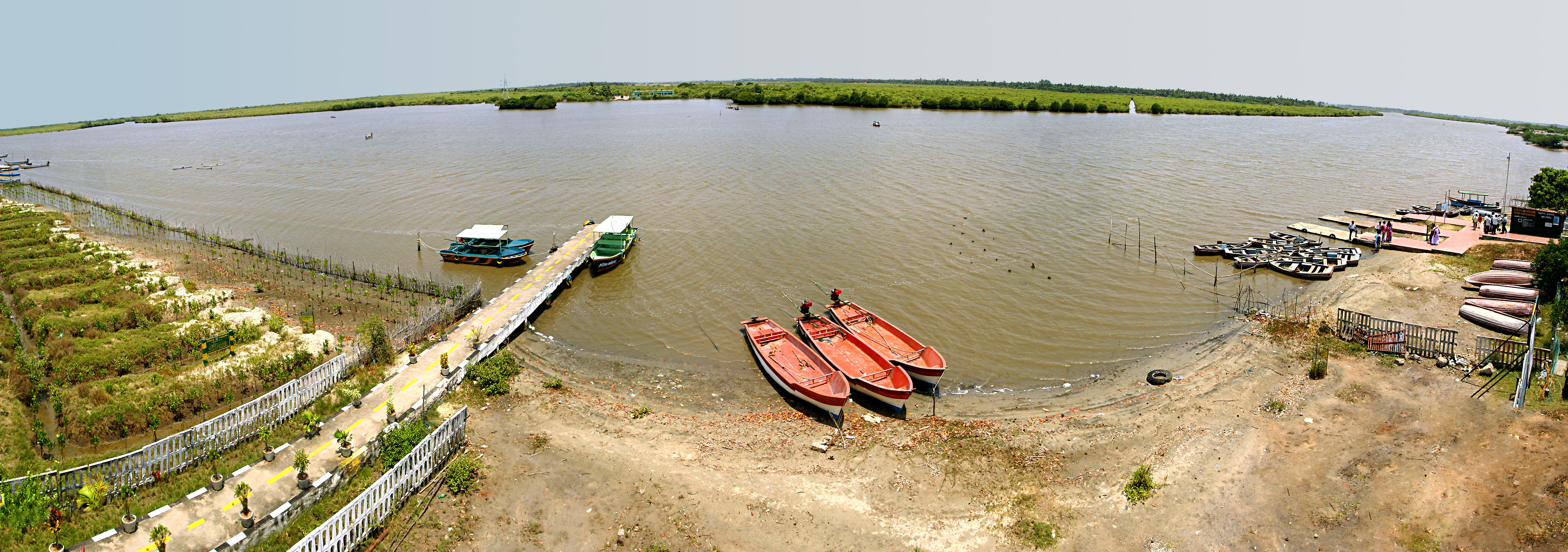
| ਵੇਰਵਾ | An overview of the en:Pichavaram mangrove forest from the viewing tower. | ||
| ਮਿਤੀ | |||
| ਸਰੋਤ | ਆਪਣਾ ਕੰਮ | ||
| ਲਿਖਾਰੀ |
|
||
| ਇਜਾਜ਼ਤ (ਇਸ ਫ਼ਾਈਲ ਦੀ ਮੁੜਵਰਤੋਂ ਕਰੋ) |
I, the copyright holder of this work, hereby publish it under the following license: ਇਸ ਫ਼ਾਈਲ ਦਾ ਲਸੰਸ ਕ੍ਰਿਏਟਿਵ ਕਾਮਨਜ਼ ਐਟ੍ਰੀਬਿਊਸ਼ਨ-ਸ਼ੇਅਰ ਅਲਾਈਕ 3.0 ਅਨਪੋਰਟੇਡ ਹੈ।
|
| Camera location | | View this and other nearby images on: OpenStreetMap |
|---|
ਫ਼ਾਈਲ ਦਾ ਅਤੀਤ
ਤਾਰੀਖ/ਸਮੇਂ ’ਤੇ ਕਲਿੱਕ ਕਰੋ ਤਾਂ ਉਸ ਸਮੇਂ ਦੀ ਫਾਈਲ ਪੇਸ਼ ਹੋ ਜਾਵੇਗੀ।
| ਮਿਤੀ/ਸਮਾਂ | ਨਮੂਨਾ | ਨਾਪ | ਵਰਤੋਂਕਾਰ | ਟਿੱਪਣੀ | |
|---|---|---|---|---|---|
| ਮੌਜੂਦਾ | 20:03, 18 ਮਈ 2008 | 4,472 × 1,575 (3.12 MB) | Planemad | {{Information |Description= |Date= 13 May 08 |Author= {{User:PlaneMad/Info}} |Source=self made |Permission={{self|Cc-by-sa-3.0}} |other_versions= }} {{Location dec|13.|80.}} Category:Tamil Nadu Category:Panoramic |
ਫ਼ਾਈਲ ਦੀ ਵਰਤੋਂ
ਇਹ ਫਾਈਲ ਹੇਠਾਂ ਦਿੱਤਾ ਸਫ਼ਾ ਵਰਤਦਾ ਹੈ:
ਫ਼ਾਈਲ ਦੀ ਵਿਆਪਕ ਵਰਤੋਂ
ਇਸ ਫ਼ਾਈਲ ਨੂੰ ਹੋਰ ਹੇਠ ਲਿਖੇ ਵਿਕੀ ਵਰਤਦੇ ਹਨ:
- azb.wikipedia.org ਉੱਤੇ ਵਰਤੋਂ
- en.wikipedia.org ਉੱਤੇ ਵਰਤੋਂ
- kn.wikipedia.org ਉੱਤੇ ਵਰਤੋਂ
- ml.wikipedia.org ਉੱਤੇ ਵਰਤੋਂ
- ta.wikipedia.org ਉੱਤੇ ਵਰਤੋਂ