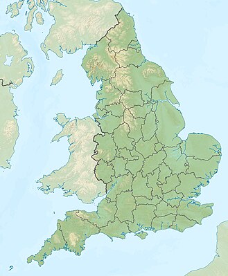
ਫਰਮਾ:ਸਥਿਤੀ ਨਕਸ਼ਾ ਇੰਗਲੈਂਡ
ਦਿੱਖ
| name | England | |||
|---|---|---|---|---|
| border coordinates | ||||
| 56 | ||||
| -6.75 | ←↕→ | 2 | ||
| 49.75 | ||||
| map center | 52°52′30″N 2°22′30″W / 52.875°N 2.375°W | |||
| image | United Kingdom England adm location map.svg
| |||

| ||||
| image1 | England relief location map.jpg
| |||

| ||||
| name | England | |||
|---|---|---|---|---|
| border coordinates | ||||
| 56 | ||||
| -6.75 | ←↕→ | 2 | ||
| 49.75 | ||||
| map center | 52°52′30″N 2°22′30″W / 52.875°N 2.375°W / 52.875; -2.375 | |||
| image | United Kingdom England adm location map.svg
| |||

| ||||
| image1 | England relief location map.jpg
| |||

| ||||